
Air Quality Intelligence
We empower businesses and industries to drive sustainability and profitability.
Our high-resolution mapping drives product innovation, increases agricultural yields, ensures regulatory compliance, improves urban planning, and optimizes real-estate developments.
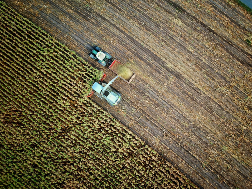
Smart Farming
Air pollution is negatively impacting crop health, leading to lower yields and reduced income in the agricultural sector. Researchers predict that future crop yields could decline by up to 25% due to worsening air quality.
Our advanced air quality models analyze and calculate the effects of air pollution on 23 different crops, helping farmers assess the impact on their fields. With these insights, they can make informed decisions about whether to switch crops, adjust their cropping plans, or invest in more resilient seeds. This enables them to optimize yields and maximize profits while ensuring sustainable farming practices.

Smart Sensing and Platform Integrations
We integrate our advanced solutions into existing sensor products, wearables, and platforms to enhance their functionality, adjust for missing data, and help our partners to stay ahead in the rapidly growing market of air pollution monitoring.
We offer customized APIs, cloud- based solutions, and embedded integrations to ensure seamless scalability and optimal performance.

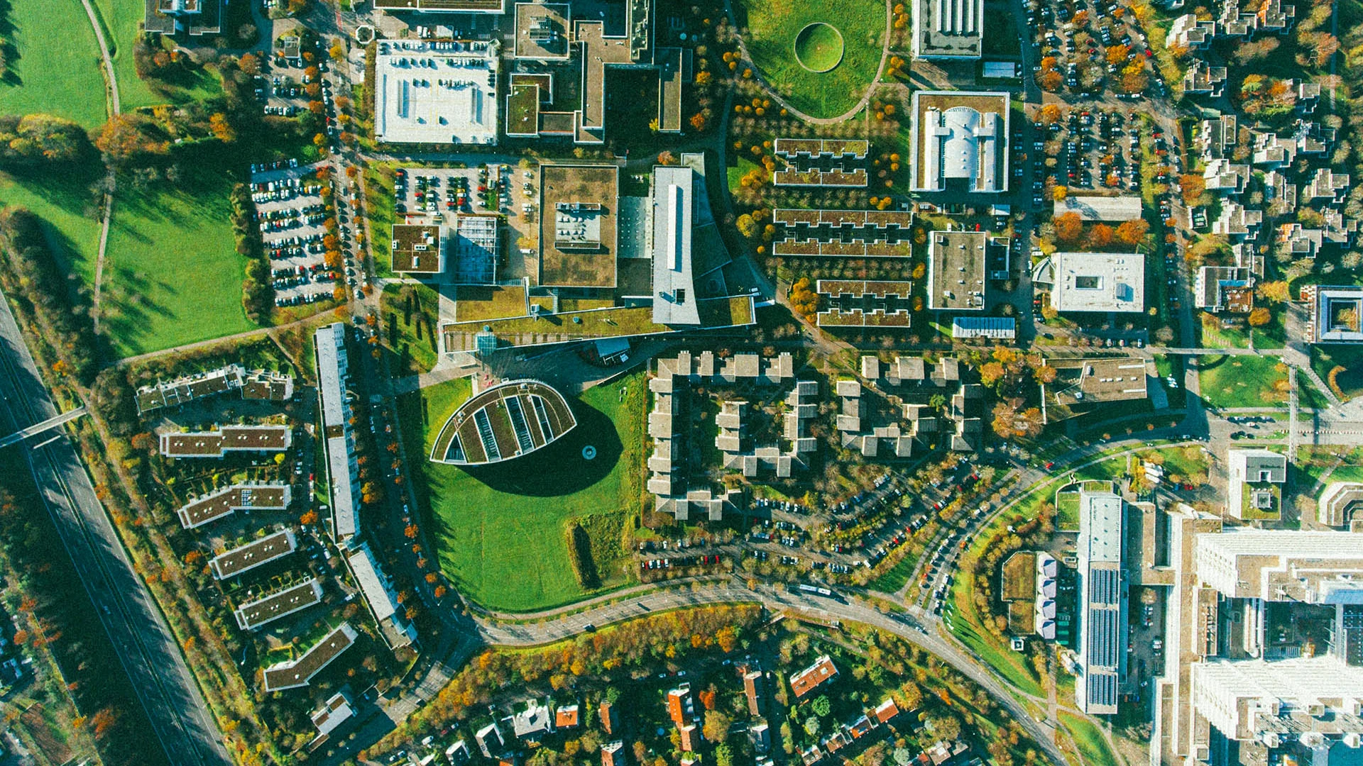
Urban Engineering
Our high-resolution, longterm data reveals air pollution patterns with unprecedented detail, mapping air pollution pockets at a 50m x 50m resolution. By integrating local weather patterns, land use, traffic, infrastructure, population density, and data from satellites and ground- level sensors, we provide deep insights into pollution distribution and real health impacts.
This empowers urban planners and communities to identify areas of concerns and implement effective, data-driven solutions to mitigate
risks efficiently.
What makes our B2B solutions special
Unlike drought, or hail, ozone damage leaves no visible signs and accumulates across the growing season silently

We provide coverage at exceptional scale and accuracy – up to 50 meters square globally.

We update an extraordinary amount of data – we create and update 120 billion data points per day.

We deliver actionable reports based on latest scientific evidence and approved guidelines.

We use most advanced technologies and machine learning to utilize data from sensors and satellites.

We customize our data and models to deliver insights tailored to specific industries, locations, and operational needs.